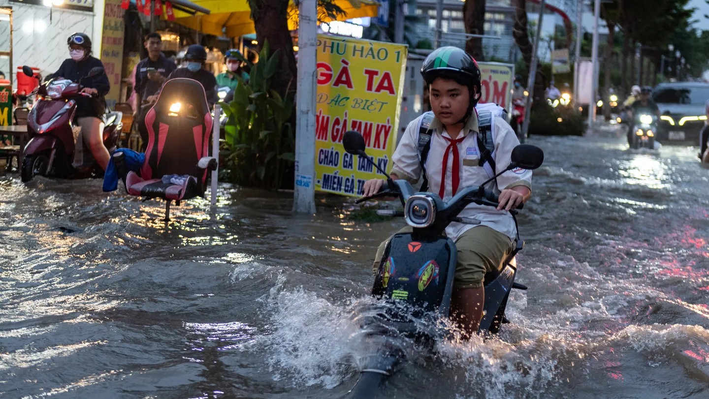
The old math was wrong. Not just a little off, but systematically skewed toward safety. Hundreds of studies looked at coastal risks. They mapped the flood zones. They built the models.
Almost all of them missed the ocean.
The Ice Illusion
Think about how we measure sea level rise. Usually, it starts with Antarctica or Greenland. Massive glaciers calve. They melt. Ice turns to water. The physics seems simple enough, right?
Volume equals height.
Except gravity gets in the way.
When a massive chunk of ice melts on Antarctica, the land actually rebounds. The crust bounces back up. At the same time, the melted water spreads out, but not evenly. Gravity plays tricks on the water’s surface. It clings to the remaining ice. It creates a complex dance of mass and distance that most coastal models ignore.
We were measuring the source of the rise, not the impact at the shore.
Most previous studies overestimated the rise near the ice sheets and underestimated it further away.
It’s a gravity trap. If you’re in Miami or Shanghai, you aren’t getting less water just because it’s far from the Arctic ice. In fact, the water might be higher than the local models predicted. The redistribution of mass shifts the global ocean surface in ways that standard tide gauges and satellite data, when processed through typical algorithms, smooth over.
Where the Water Goes
It doesn’t stay put. The oceans are connected. A bulge in one area means a dip in another? Not quite. It’s more like a tilt.
Consider the Atlantic vs. the Pacific. Historically, scientists focused on the ice loss. But the water moves. Circulation patterns change. Currents shift. When you factor in the dynamic response of the oceans—how water sloshes around in response to climate forces—the map looks different.
Suddenly, places far from the glaciers become hotter (pun intended) risk zones. The Indo-Pacific region? It’s taking a hit. Coastal cities that thought they were in the safe zone of lower rise are suddenly facing higher projections.
It’s not magic. It’s hydrostatics meeting chaos.
Why It Matters
Risk isn’t a uniform blanket. You can’t just slap a single “sea level rise” number on a global map. A foot of rise in one place feels different than a foot in another because the ocean isn’t a static bathtub. It’s alive. It moves. It reacts to gravity, wind, and temperature.
Ignoring these factors is dangerous. Underestimating the height by even inches changes the flooding map for millions of people. Insurance models fail. Infrastructure planning gets built on shifting sands—literally and metaphorically.
So what now? We need better models. Ones that account for the wobble of the earth, the pull of gravity, and the chaotic nature of the deep sea. The old methods gave us comfort. They suggested we knew what we were looking at.
We didn’t.
The water is rising. The math is finally catching up. And for the coasts that were told they were relatively safe, the news isn’t gentle.
Who decides which towns get the flood defenses first?